
Introduction
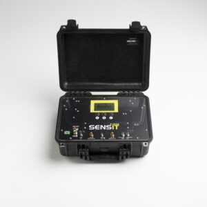
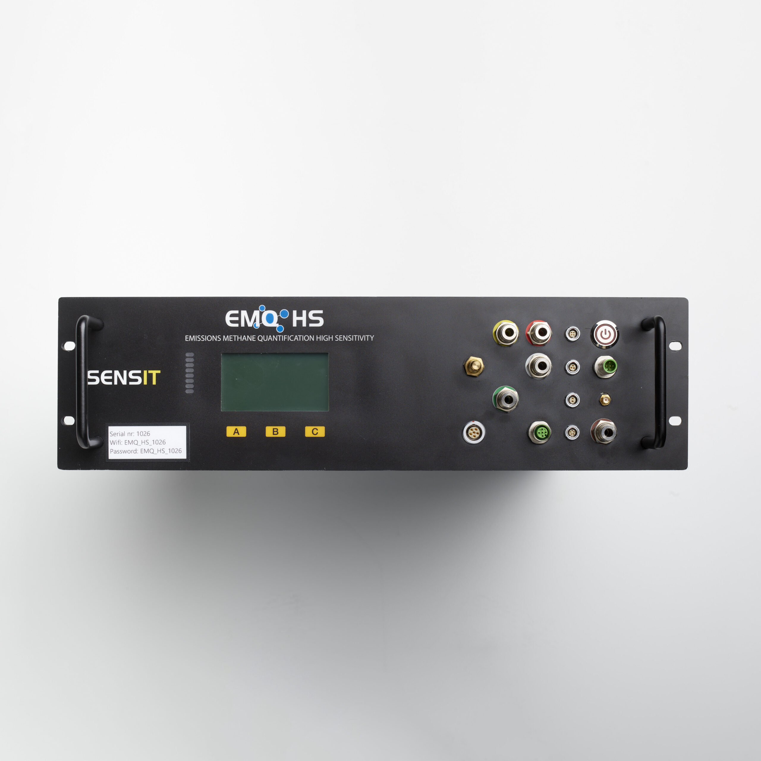
The SENSIT® FMD.HS is a fixed methane monitoring solution engineered for continuous emissions surveillance and leak detection. Utilizing a high-sensitivity methane-selective laser sensor, the system continuously monitors methane concentrations at ppb levels and provides real-time data for emissions monitoring programs.
Designed for permanent deployment, the FMD.HS combines methane detection with environmental monitoring capabilities, including wind speed, wind direction, air temperature, humidity, and atmospheric pressure measurements. This environmental data provides critical context for accurately locating and quantifying methane emissions.
Data collected in the field is transmitted to GIS 360, where advanced analytics and AI-driven algorithms help identify, locate, and quantify emissions. Whether deployed around utility facilities, compressor stations, LNG infrastructure, storage facilities, or industrial sites, the FMD.HS delivers continuous monitoring and actionable emissions intelligence.
Standard Features
The SENSIT® FMD.HS includes a wide range of standard features designed to support accurate methane measurement and dependable operation:
- Methane-selective laser sensing technology
- Continuous fixed-site monitoring
- Wind speed and wind direction monitoring
- Integrated GIS 360 platform compatibility
Applications & Benefits
The SENSIT® FMD.HS is ideal for continuous methane monitoring at utility facilities, compressor stations, regulator stations, gas storage sites, LNG facilities, industrial plants, and other critical infrastructure where real-time emissions awareness is essential. Multiple units can be deployed across a site to create a comprehensive monitoring network capable of detecting, locating, and tracking methane emissions as conditions change.
By combining high-sensitivity methane detection with real-time environmental monitoring, the FMD.HS provides more than basic leak detection. The system continuously analyzes methane concentrations, wind conditions, temperature, humidity, and pressure to help identify potential emission sources and support quantification efforts. Through GIS 360 integration, operators gain real-time visibility into emissions activity, allowing them to improve operational awareness, prioritize maintenance activities, support regulatory compliance programs, and drive emissions reduction initiatives.